The Project
Project overview
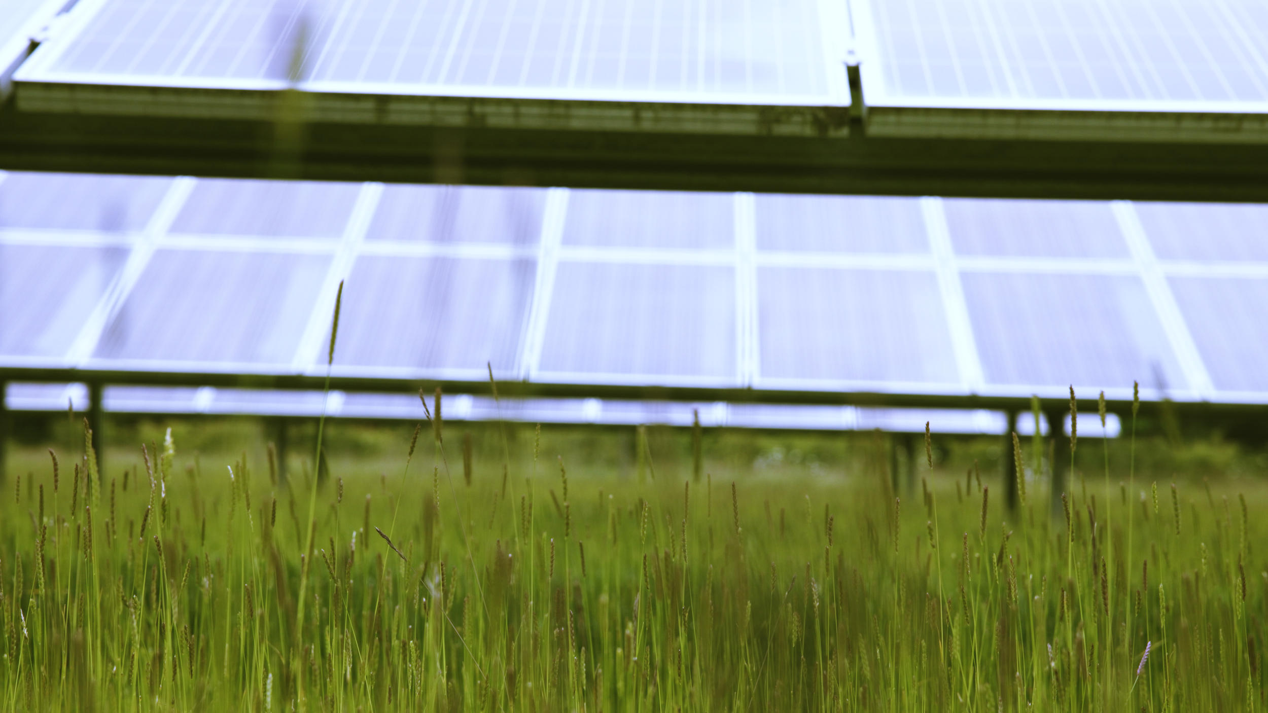
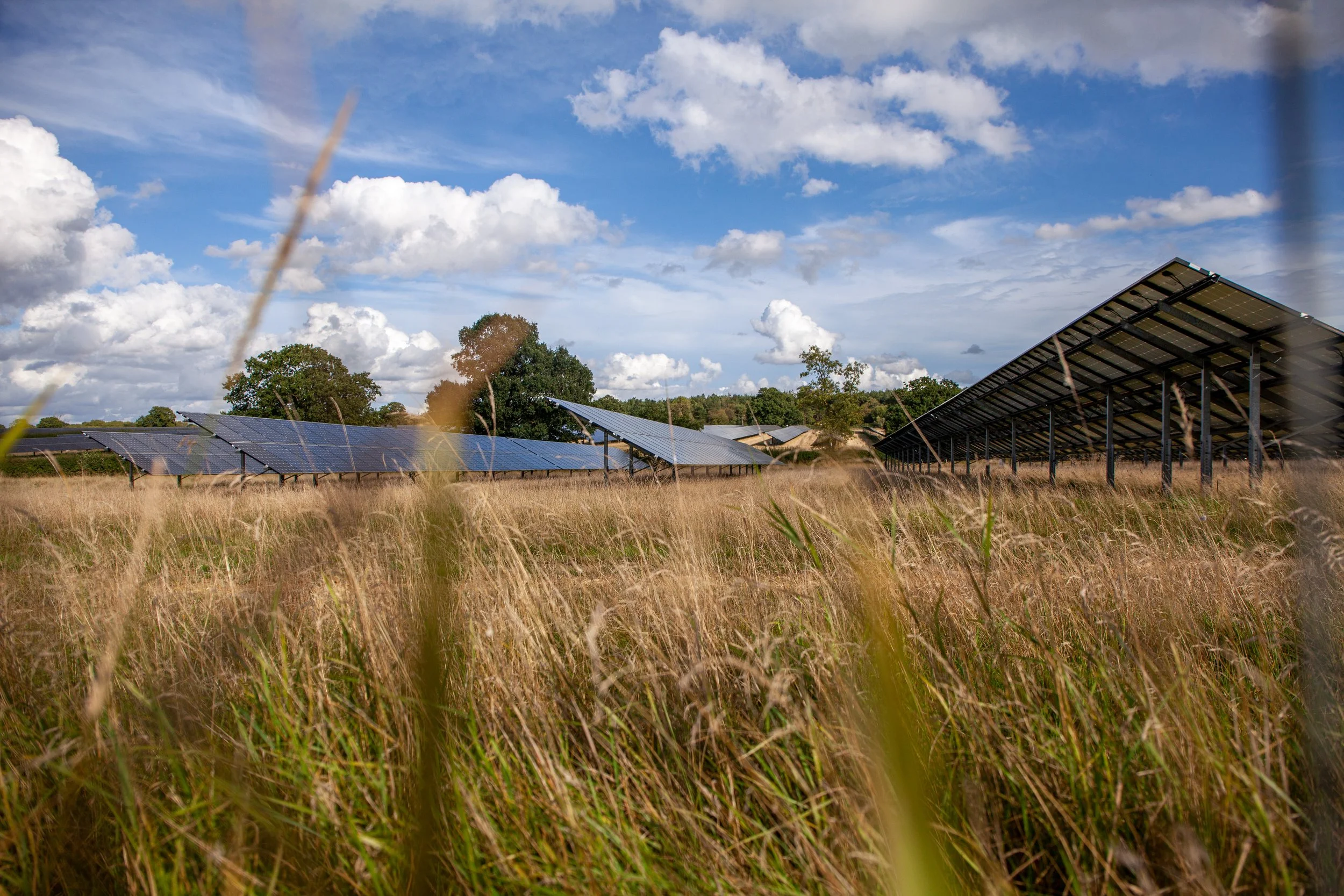
Lime Down Solar Park is a utility-scale solar park and battery energy storage project proposed as being built on land in Wiltshire.
The Project would comprise the installation of solar photovoltaic (PV) panels and an on-site battery energy storage system (BESS). It will also include an underground cable connection to the national grid at Melksham Substation, ensuring that the renewable electricity produced can be made available to homes and businesses locally and across the UK.
Subject to being consented, the Project is anticipated as having a generation capacity of approximately 500MW. This is equivalent to providing enough clean affordable electricity to power 115,000 homes annually.
Location
The solar park would be located within five land parcels; Lime Down A, B, C, D and E – collectively referred to as the ‘Solar PV Sites’.
The sites making up the solar park can be identified as follows:
Lime Down A – located to the east of Commonwood Lane
Lime Down B – located to the east of the Fosse Way
Lime Down C – lies across the Fosse Way to the east of Alderton
Lime Down D – lies immediately to the north of the Great Western Railway line and Hullavington, south of Bradfield Wood
Lime Down E – located to the south-west of Rodbourne, and south of Corston
In addition to hosting the solar PV panels and supporting infrastructure, these areas will incorporate biodiversity and environmental enhancements, complemented by landscaping to include the establishment of native tree, hedgerow and ground cover planting along with reinforcement of existing tree belts and hedgerows. This will ensure the panels, BESS, on-site substations, and other necessary infrastructure for generating and storing electricity are carefully and sensitively integrated into the surroundings.
The electricity generated by the Project would be exported to the existing national electricity transmission system at National Grid’s Melksham Substation, which lies approximately 3 km to the north of Melksham near the villages of Beanacre and Whitley. The connection from the Solar PV Sites to Melksham Substation would be through underground cables. There is no requirement for new overhead electricity lines to be used or constructed.
The latest plan showing the location of the Project is available to view on this webpage. Additional maps and plans can be viewed in the ‘Documents’ webpage linked here.
The Project location map shows the extent of the land required for the construction, operation, maintenance and decommissioning of the Solar PV Sites and the connection into the national grid at Melksham Substation.
Within the boundaries of the Solar PV Sites there will be buffer zones to maintain a suitable distance between equipment and infrastructure and existing homes, landscape, ecological and habitat features and Public Rights of Way.
Scroll down to use the interactive map where you can search for a location and see how it relates to the site.

Site selection
One of the key factors influencing the location of the Project was the availability of a grid connection at Melksham Substation. Once a point of connection was established, various land parcels within a 20km radius of Melksham Substation were considered against a number of technical, environmental and economic factors.
The five Solar PV Sites were selected because:
They benefit from good levels of sunlight (irradiance), ensuring efficient electricity generation.
The sites are close together and, combined, provide enough land to accommodate the Project.
The sites comprise land of regular shape.
The majority of the sites comprise grade 3 agricultural land, being lower quality than grades 1 and 2.
The gently undulating topography makes them suitable for solar development and helps maximise panel efficiency.
The sites are largely unconstrained by trees.
The majority of the sites are within areas at low risk of flooding, with only small sections within higher risk zones.
There are no listed buildings or heritages assets within the sites.
There are few residential properties nearby, and additional landscaping and screening could minimise any visual impact.
Access to the sites is relatively well served by the existing road network, with only minor upgrades envisaged.
The land is available for the Project.
The Project site
The land for which DCO consent is being sought is called the Development Area and covers approximately 2,834 hectares (ha). The map on page 7 shows the extent of the land required for the construction, operation, maintenance and decommissioning of the Project and the grid connection to Melksham. It comprises the following elements:
The Solar PV Sites – comprising approximately 878 ha (2,169 acres) of predominantly agricultural fields. Around 464 ha of this land is proposed as being required for installation of solar PV, battery storage, and associated infrastructure. The remaining 414 ha would be retained as agricultural land or used for landscaping, ecology mitigation and environmental enhancements.
The Cable Route Search Corridor – which stretches about 22 km from the ‘Lime Down D’ site to Melksham Substation and also links together the Solar PV Sites. It covers approximately 1,947 ha of mainly agricultural land, and ranges in width from 75 metres to 2 km. We will refine this corridor before submitting our application for development consent to PINS.
Further detail on how the Development Area for the Project was selected can be found in PEIR, Volume 1, Chapter 4: Alternatives and Design Evolution. A Site Selection report can be found in PEIR, Volume 3, Appendix 4-2 Site Selection Report.
Click on the Project Location Map to enlarge.